D8: Kunene River Lodge - Dorslandtrekkers - Enyandi Camp (52km)
We packed up and set off for a difficult part of the Kunene River track. The scenery showed us how harsh this world is.


We planned to visit the Dorslandtrek Monument as Tom hadn't been there before, so soon after we saw this weather-worn sign, we turned south at the T-junction to get to the memorial. There's ample parking and it's clear that the site was re-visited in 2013.


The graves tell of trek hardship and never fail to move one. Read the inscription on the headstone carefully: born Robberts, married and died Robberts in a span of 17 years - there must be an interesting story behind this!
All cairns invite one to add a stone -
here Mrad is adding his token.
At the bottom of the pile, a tribute is given to
Ben van Zyl, the man who opened up
the Van Zyl's Pass which we hoped to travel.
here Mrad is adding his token.
At the bottom of the pile, a tribute is given to
Ben van Zyl, the man who opened up
the Van Zyl's Pass which we hoped to travel.
We returned to the Kunene route. Here palm trees grow tall and strong.
These Himba graves caught our eye. See the cross on the right-hand headstone? And the oxen skulls positioned in the tree above the grave? One wonders how the Himba married Christianity with their traditional beliefs?
Rubbish removal in these remote parts must be a problem but for transport one just catches a donkey.


On the southern side of the road, Himba huts seem to shelter against the flanks of the Zebra Mountains. The cattle "kraals" are made of branches.

In some cases, the view to the north of the road, might well be the broad expanse of the Kunene with Angola on the opposite bank. Our GPS told us that we were only 75km south of Espenhiera (the Ghost Town) in Angola where we toured in 2013.

The road bumped down to a wide sandy river bed which we had to cross.


Soon after the sandy part we crunched across stones. Then it was another tricky downhill.
It's a pity the photo cannot capture the incline well.
It's a pity the photo cannot capture the incline well.


To our right, the Kunene peacefully flowed west. Sometimes we crossed a marshy tributary with some stagnant water.


Keep right -
the road to the left is blocked off with stones.
the road to the left is blocked off with stones.

A stoney patch in the river.

If you look closely, you will see that this fence is made with the spines of palm fronds.

We found several Adenium Boehemium (Kunene Impala Lily) blossoming next to the road. Very special!

This section of the road required external navigation. Tom and I both say: "Thank you, Mrad!"
A beautiful view leading to yet another difficult section.


Can you see the pegs lodged in the trunk of the palm tree? The locals collect the palm sap at the top of the decapitated palm, allow it to ferment on the tip of the trunk and (apparently) enjoy the palm wine!
The pegs help the winemaker to get to his product!
The pegs help the winemaker to get to his product!

Teatime under enormous shady Ana Trees.

Indigenous Hoodia.

We travelled just north of the Zebra Mountains.

Along the route we saw various Commiphora which thrive under the harsh circumstances of the Kunene valley.

Are we seeing the end of today's route?
No - here's another rough section.


Another Baobab that has seen "it" all over many centuries. And so probably has the Himba who lives here?


The Zebra Mountains up close. They "are an impressive range of anorthosite and troctolite, which are part of the Kunene Range. The conspicuous stripes gave the range its name, and are not caused by igneous layering, but by alternating scree and more vegetated slopes" (Schneider 2004:261). This can be clearly seen in the picture below.


Another Kunene Impala Lily - shining lights in the bush. Perhaps to give courage?

Because just around the bend
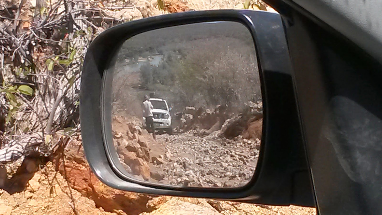
was one of the worst stretches of the day ...
just look at the angle of the bakkie.

We made it ...
now to see if Tom will be OK?

Safely at the top!

Some time after the last challenge, we were very pleased to see this sign. It still took us some searching to decide exactly where Enyandi Community Camp was, but this tree confirmed that we were in the right spot.


Now - where should we camp?

A Himba girl came to fetch water, but as you can see from Mrad's gesture, communication wasn't easy.

However, we decided this was the right spot.
So we unpacked and prepared the fire for supper.
So we unpacked and prepared the fire for supper.


These were some of the views that enchanted us -
this is why we travel - so see the magic of nature.
this is why we travel - so see the magic of nature.

An awesome skyline

Our hosts arrived - Cornelius Martin (who could speak both English and Afrikaans because he had worked for the Namibian Geological Survey)
and his Himba friend welcomed us.
They happily posed for photos.
and his Himba friend welcomed us.
They happily posed for photos.


No comments:
Post a Comment