.JPG)
D18: Bushcamp - Hoanib River - Khowarib (135km)
As usual, we had slept well and
woke up refreshed and ready to go.

This is a 360 degree photo: west on the left hand side, move fltr, through N-E-S to west again.

This is our road south towards the Hoanib River.

Can you believe that the Hoanib River valley was shrouded in mist? We conjectured that moist air must move inland overnight from the sea in the west.


As we drove into the mist belt, we saw that the mountains were also covered in the mist.

BigBlue has gone round the bend - so did we!
We had joined the Hoanib River road.

After days of grasslands and stunted Mopanie growth, these Ana Trees were a sight for sore eyes!


As we travelled westward,
some mist still hung over the mountains in the north.


Can you see who peeped out at us from the bush?
A steenbuck.

In fact, if you look closely, there are two!

The mountains which flanked the Hoanib River
formed the perfect backdrop for
the magnificent Ana Trees which lined our route.


A giraffe hurries to safety.

The mud flakes along the river bed
tell of the past wet season.

You've guessed it: a closeup of an Ana Tree stem.

These men work for the Sesfontein Conservancy.
We asked whether they had seen elephants?
"None towards Sesfontein".
And that was where we were headed.
A pity, because Tom hadn't seen them yet.

At least we saw elephant footprints -
the small ones intrigued us.

This family had camped next to the riverbed
the previous night. They were going westward.
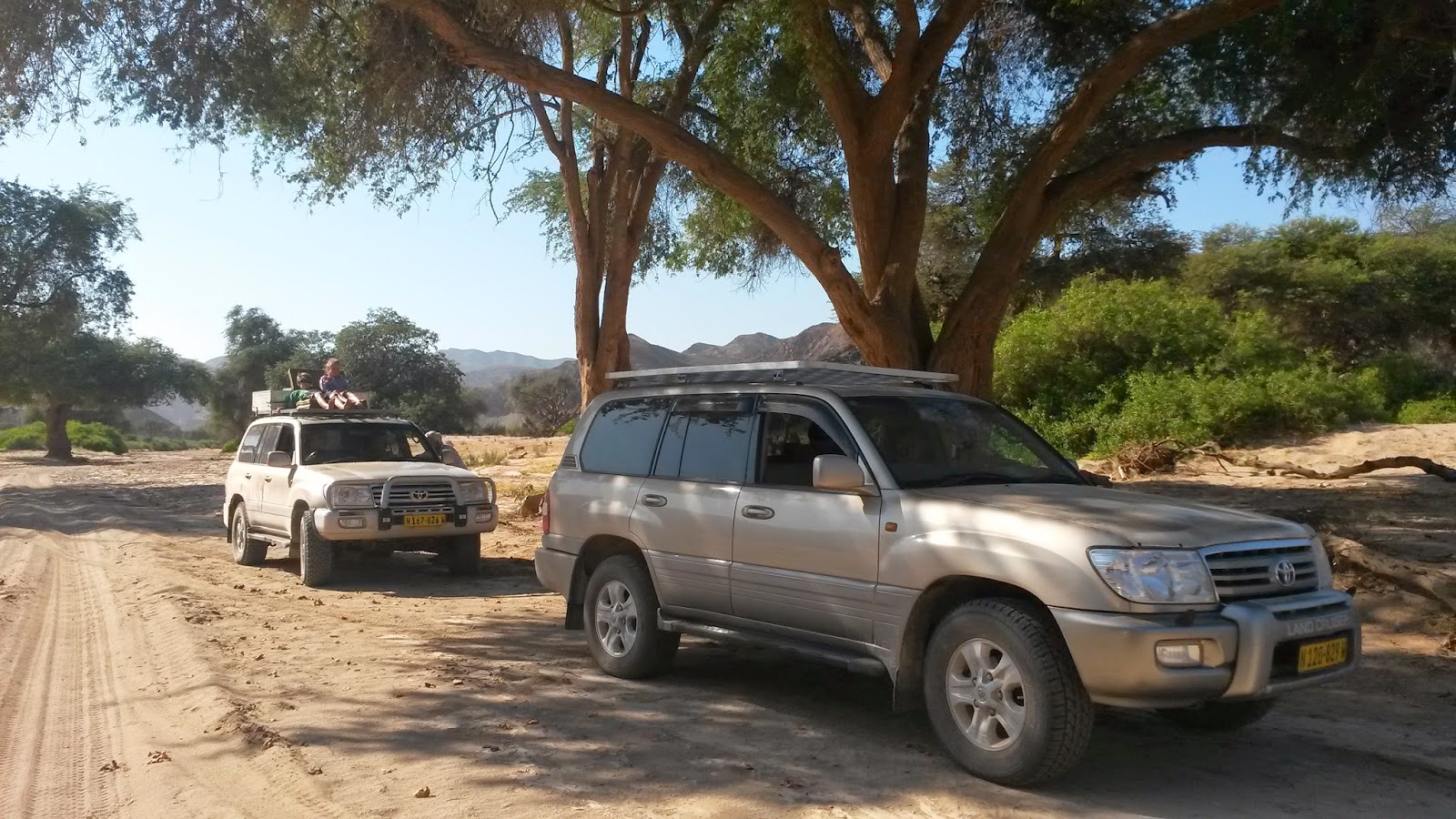
Can you imagine a better viewing seat than the one the two youngsters have on the roof of the car?
We arrived at "Die Poort" -
(see the red arrow on the map above)
the end of the Hoanib River road.

Instead of going straight towards Elephant Song Village, we turned sharply left into the Ganamub River bed:
a valley snaking between stunning rock formations.


Which happened first? The cleft in the rock (then the tree grew in it) or did the tree cause the rock to split?

Towards the end of the Ganamub Valley we found cattle, goats and water tanks - civilisation was near.


We joined the D3707 which goes from Puros to Sesfontein - obviously we were heading +-east.

This Bottle Tree must be on many photos
as it's close to the road and solitary.

The mountains to the north of the road, reminded us of the "Rosyntjieberge" of the Richtersveld.

The rock face to the south of the road,
reflects a quite different rock consistency.

The road eastward meanders
through undulating terrain.


The outskirts of Sesfontein. In this area, a thrust in the earth's crust gave rise to six fountains -
hence the town's name.


Life here is slow and basic.

This impressive mountain is just east of Sesfontein. It represents the beginning of an area consisting of dolorite sills and dykes, as well as basalt and quartz latite (Schneider 2004:253).

Just after we had crossed the Skelm (Noideb) River,
we entered the Anabeb Conservancy.

We bypassed the Ongongo Hotwater Springs
as the surroundings didn't look very inviting.
Further on we found the Khowarib Community Campsite,
turned left and were welcomed warmly.


No comments:
Post a Comment