D17: Puros - Bushcamp (119km)
Breakfast is an important meal. Snug in our camp site #1 at Puros Community Camp
We had tried to get one of our flat tyres repaired at Marble Mine Camp, but they hadn't succeeded.
At Puros we found a community developer whose team mended the tyre as well as possible.
We found the start of the Puros Canyon.
Just look at the difference between the top layer
and the soft sandy layer below.
These cliffs tower over the start of the canyon.
The road meanders along the Hoarusib River in a south-westerly direction, frequently crossing it in shallow areas. This is why it is essential to choose the right time of year to travel here.
The birdlife in these shallow waters is excellent.
A Three Banded Plover watches us go by.
Is this a dead-end? Of course not!
What would be so interesting to Mrad?
Yellow flowers from a thorn plant.
Yellow flowers from a thorn plant.
One cannot just look at the river,
the cliffs demand one's attention too:
white stemmed trees,
intrusions,
and an Augur Buzzard!!
Thank goodness for Johan's excellent eyesight!
While some watched birds,
others use the opportunity to dry washing.
The Puros Canyon's final challenge: slowly drive through this narrow gorge (it always has water).
In the last section, the canyon opens up.
These chalets are pinpointed on T4A as
"Skyline pollution" - we tend to agree.
Our road veered first south.
At this rock outcrop we turned left,
in order to avoid the Ganias Flats
(which Johan had found very boring the previous time).
This brought us to a new part of Koakoland.
in order to avoid the Ganias Flats
(which Johan had found very boring the previous time).
This brought us to a new part of Koakoland.
There were some flat sections of the road,
but they were alleviated by
but they were alleviated by
a beautiful tree on a hillock
We moved east until our road met the Puros-Hoanib road. Thank goodness for a GPS which pinpointed our position. We turned sharply south.
Such trees break the monotony of the route.
According to T4A, we travelled in/next to the Sawurogab River for the last +-12 km of our day's stretch.
We didn't see a drop of water.
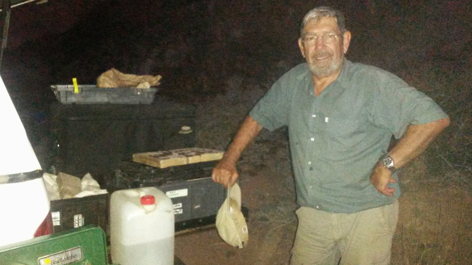
We were cooking so we could decide
when to stop and where to camp.
This cliff offered some protection against the wind.
when to stop and where to camp.
This cliff offered some protection against the wind.
.JPG)


No comments:
Post a Comment